Logistics
Real-Time Fleet Tracking & Dispatch Platform
Every vehicle, every stop, on one screen
Illustrative solution blueprint — a representative build demonstrating our engineering approach, not a client engagement.
Overview
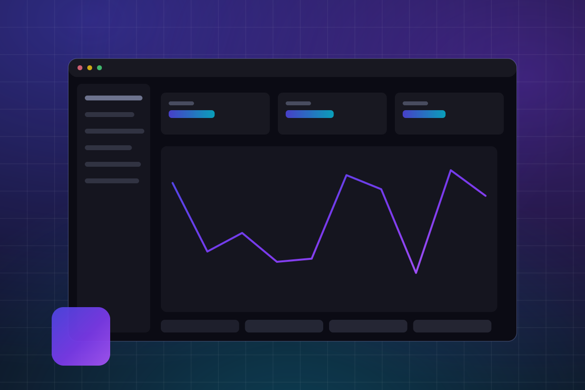
This blueprint covers a fleet operations platform: live vehicle tracking, dispatch, route visibility, and proof of delivery in one system. It is aimed at logistics operators and distribution businesses running tens to thousands of vehicles who currently coordinate over phone calls and spreadsheets.
The core engineering problem is ingest. A moving fleet emits a continuous stream of GPS and status events that must be validated, stored, and pushed to dispatcher screens in near real time. The design treats that stream as the backbone and builds dispatch, alerts, and reporting on top of it.
The problem space
The Challenge
Dispatchers in most logistics operations work blind between check-in calls: they cannot see where vehicles actually are, which deliveries are slipping, or which reassignment would recover the day. Customers ask for ETAs nobody can answer, and post-hoc analysis relies on driver memory. A tracking platform must handle high-frequency location data from unreliable networks — devices drop offline in dead zones and reconnect with backlogs — without ever presenting a stale picture as current.
How we'd tackle it
Our Approach
We would build around an event pipeline: GPS and telemetry events land in an ingest service that validates, deduplicates, and orders them, then fan out to live dispatch views over WebSockets and into time-partitioned storage for history. The driver app is Flutter with an offline-first queue, so proofs of delivery and status updates survive network gaps and sync on reconnect. Geofencing and ETA logic run server-side as stream processors, keeping the mobile app thin and battery-friendly.
Under the hood
Architecture
- 1
Flutter driver app with an offline-first event queue and background GPS capture
- 2
Node.js ingest service validating, deduplicating, and ordering telemetry events
- 3
WebSocket push layer streaming live positions to dispatcher dashboards
- 4
React + TypeScript dispatch console with map, timeline, and exception views
- 5
PostgreSQL with PostGIS for geospatial queries and partitioned telemetry history
- 6
Redis pub/sub bridging ingest to live subscribers
- 7
Kubernetes on Google Cloud, autoscaling on ingest throughput
Capability surface
Key Features
The functional scope this blueprint covers end to end.
Live map with vehicle clustering, status colors, and route overlays
Dispatch board for assigning and reassigning jobs to vehicles
Geofence-based arrival and departure detection with alerts
Customer-facing ETA links with live delivery status
Electronic proof of delivery: signature, photo, and notes
Trip history replay for dispute and incident review
Driver hours and vehicle utilization reporting
Maintenance reminders keyed to odometer and engine hours
Engineering goals
What This Blueprint Optimizes For
Design goals we engineer toward — stated as targets, not claimed results.
Position updates visible to dispatchers within seconds of capture
No data loss from devices operating offline for hours
Smooth map interaction with 1,000+ concurrently tracked vehicles
Months of telemetry history queryable without degrading live views
Battery-conscious tracking that lasts a full driver shift
Roadmap thinking
Where We'd Take It Next
Route optimization suggestions built from historical trip data
Vehicle sensor (CAN/OBD-II) ingestion for fuel and engine health
Predictive maintenance flags derived from telemetry trends
Carrier and 3PL portals for multi-party shipment visibility
Tech Stack
The technologies this blueprint is designed around.
- Flutter
- React
- TypeScript
- Node.js
- PostgreSQL
- Redis
- Kubernetes
- Google Cloud
Related Services
Curious What This Would Look Like for You?
We'll map your requirements against a blueprint like this — architecture, stack, and roadmap — before you commit to anything.